Dale County: A Diversified Economy with Deep Roots
 Dale County is located in the southeastern part of Alabama, wholly within the coastal plain. Approximately forty miles equidistant from Georgia and Florida, this area is known locally as the Wiregrass Region, named for the particularly hardy species of grass abundantly growing when pioneers first settled nearly 200 years ago. Dale County was created by the Alabama legislature on December 22, 1824, and named for pioneer General Sam Dale. The county currently encompasses 561 square miles, and its two largest cities, Ozark, the county seat, and Daleville, form two of the borders of Fort Rucker, one of the largest military installations in the state and the “Home of Army Aviation.” The Installation is a primary training facility for most of the military helicopter pilots in the free world.
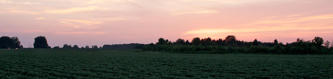
Dale County’s economy is rooted in agriculture. Original dependence on cotton diversified to include livestock, peanuts, and other commodities when the boll weevil decimated cotton crops in the early 1910s. Agriculture remained the most important segment of Ozark’s economy until the outbreak of World War I and the establishment of Camp Rucker, now called Fort Rucker. The fort remains a substantial driver of Ozark’s economy, joining agricultural commodities, industries, retail, and services.
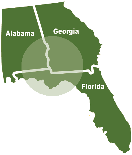
The Wiregrass Region
The Wiregrass Region is named for the long-stemmed grass, Aristida stricta, native to the area's long-leaf pine ecosystem. It stretches along the coastal plain from southern Georgia and northern Florida into nine counties of southeastern Alabama: Barbour, Coffee, Covington, Crenshaw, Dale, Geneva, Henry, Houston, and Pike. Four rivers flow through the region: the Conecuh, Pea, Choctawhatchee, and Chattahoochee.